Service / Laboratory and Survey / Topography Bathymetry
Topography Bathymetry
Accurate survey solutions for construction, ports, reclamation, and mining projects.
We provide integrated topographic and bathymetric survey services tailored to support engineering design, construction planning, and environmental assessment. Our work combines field expertise with high-precision instruments and robust data processing in our in-house laboratory.
Topography Bathymetry
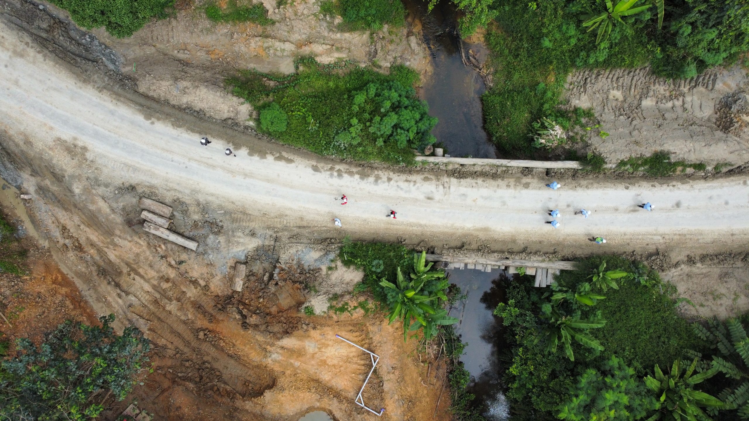
Topographic Survey Services
Our topographic surveys are critical for pre-construction planning, infrastructure layout, and terrain analysis across various industries:
- GNSS-based control network establishment
- Drone-based photogrammetry and aerial mapping
- Total station and 3D laser scanning
- Contour mapping and elevation modeling
- Digital Terrain Model (DTM) and Digital Surface Model (DSM) generation
- Cut and fill analysis for earthworks
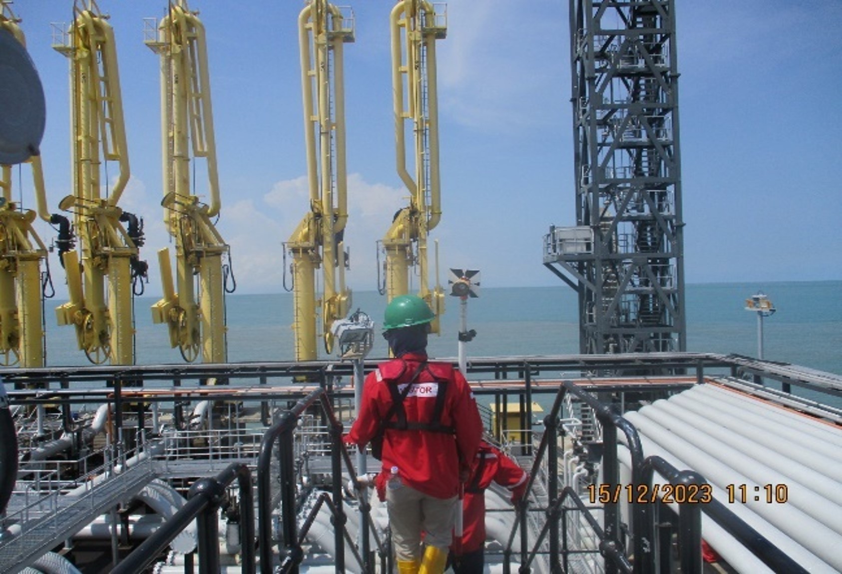
Bathymetric Survey Services
Our bathymetric capabilities support marine and freshwater-based projects such as port development, dredging, and river engineering:
- Single-beam and multi-beam echo sounding
- Channel and seabed profiling
- Tidal data acquisition and correction
- Volume calculation for dredging and reclamation
- River cross-section surveys for hydraulic modeling
- Data integration with GIS and CAD platforms
Laboratory & Data Processing Support
All raw data collected in the field is processed and analyzed in our laboratory using professional software and quality control procedures. We deliver:
Monitoring datasets for progress tracking and as-built verification
Georeferenced maps and 3D models
CAD-compatible drawings and sections
Technical reports and analysis for feasibility studies
Related Project
-
DETAIL ENGINEERING DESIGN OF SWALANG INFRASTRUCTURE DEVELOPMENT
Client Location Year Project Value PT Multi Tambangjaya Utama (MUTU)…
Read Article ->: DETAIL ENGINEERING DESIGN OF SWALANG INFRASTRUCTURE DEVELOPMENT
CONTACT